Additional information
| ISBN | 979-8-89966-590-5 |
|---|---|
| Author | Amanda Ribeiro Lutterback Dias, Antonio Krishnamurti Beleño de Oliveira, José Tavares Araruna Júnior |
| Publisher | |
| Publication year | |
| Language | |
| Number of pages | 57 |

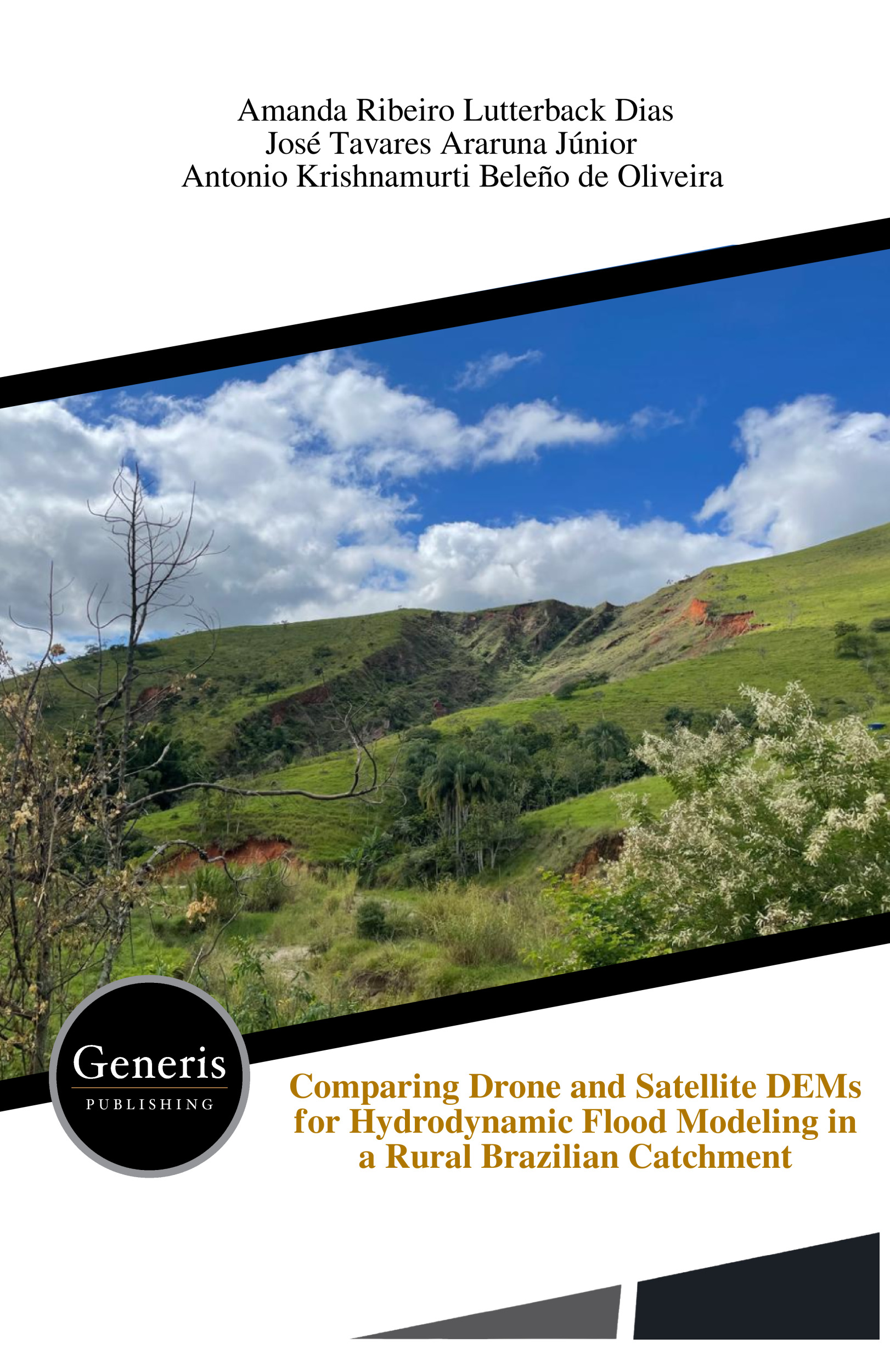
Floods and erosion increasingly threaten rural communities, yet one key question remains: how much topographic detail is truly necessary to predict these disasters accurately? This study investigates that challenge in the flood-prone rural region of Bananal, Brazil, by comparing satellite-derived and drone-generated Digital Elevation Models (DEMs) in hydrodynamic flood simulations. Using advanced tools such as […]
ISBN: 979-8-89966-590-5
€29.99
| ISBN | 979-8-89966-590-5 |
|---|---|
| Author | Amanda Ribeiro Lutterback Dias, Antonio Krishnamurti Beleño de Oliveira, José Tavares Araruna Júnior |
| Publisher | |
| Publication year | |
| Language | |
| Number of pages | 57 |
Floods and erosion increasingly threaten rural communities, yet one key question remains: how much topographic detail is truly necessary to predict these disasters accurately? This study investigates that challenge in the flood-prone rural region of Bananal, Brazil, by comparing satellite-derived and drone-generated Digital Elevation Models (DEMs) in hydrodynamic flood simulations. Using advanced tools such as QGIS, HidroFlu, and MODCEL, the research evaluates how different spatial resolutions and modeling approaches affect the identification of flood-risk areas. The results reveal that high-resolution drone data significantly improves the representation of flooding dynamics, especially when combined with river discharge boundary conditions. However, the study also exposes the trade-off between precision, operational cost, and computational demand. Beyond technical comparisons, the article explores the integration of field surveys, drone photogrammetry, geotechnical laboratory analyses, and hydrodynamic modeling to better understand flood behavior in vulnerable rural landscapes.